
File:The church of St Peter - Kirkgate - geograph.org.uk - 351683.jpg
此為最大尺寸。
The_church_of_St_Peter_-_Kirkgate_-_geograph.org.uk_-_351683.jpg (640 × 480 像素,檔案大小:85 KB,MIME 類型:image/jpeg)
摘要
| 描述 |
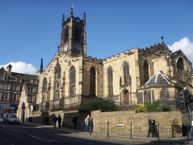
English: The church of St Peter - Kirkgate This has been the site of a Church for almost 1000 years. One up to date feature is the 'Key's Cafe' which has been built into the excavated crypt.
http://www.huddersfieldparishchurch.org |
| 日期 | |
| 來源 | From geograph.org.uk |
| 作者 | Steve Jaikens |
| 姓名標示 (由许可协议要求) | Steve Jaikens / The church of St Peter - Kirkgate / |
| 拍攝地點 | | 位於此地的本圖片與其他圖片: OpenStreetMap |
|---|
_heading:292.00&language=zh-tw)
| 目標地點 | | 位於此地的本圖片與其他圖片: OpenStreetMap |
|---|
_heading:292.00&language=zh-tw)
授權條款

|
此圖像來自Geograph工程圖集。攝影師的聯繫資訊請見Geograph網站上該照片的頁面。此圖像的著作權人為Steve Jaikens,採用創用CC 署名-相同方式共享 2.0許可協議授權二次使用。
|
此檔案採用創用CC 姓名標示-相同方式分享 2.0 通用版授權條款。
姓名標示: Steve Jaikens
- 您可以自由:
- 分享 – 複製、發佈和傳播本作品
- 重新修改 – 創作演繹作品
- 惟需遵照下列條件:
- 姓名標示 – 您必須指名出正確的製作者,和提供授權條款的連結,以及表示是否有對內容上做出變更。您可以用任何合理的方式來行動,但不得以任何方式表明授權條款是對您許可或是由您所使用。
- 相同方式分享 – 如果您利用本素材進行再混合、轉換或創作,您必須基於如同原先的相同或兼容的條款,來分布您的貢獻成品。
檔案歷史
點選日期/時間以檢視該時間的檔案版本。
| 日期/時間 | 縮圖 | 尺寸 | 使用者 | 備註 | |
|---|---|---|---|---|---|
| 目前 | 2011年1月2日 (日) 20:09 | | 640 × 480(85 KB) | GeographBot | == {{int:filedesc}} == {{Information |description={{en|1=The church of St Peter - Kirkgate This has been the site of a Church for almost 1000 years. One up to date feature is the 'Key's Cafe' which has been built into the excavated crypt. http://www.hud |
檔案用途
下列頁面有用到此檔案:
全域檔案使用狀況
以下其他 wiki 使用了這個檔案:
- arz.wikipedia.org 的使用狀況
- azb.wikipedia.org 的使用狀況
- en.wikipedia.org 的使用狀況
- is.wikipedia.org 的使用狀況
- pt.wikipedia.org 的使用狀況
- simple.wikipedia.org 的使用狀況
- www.wikidata.org 的使用狀況