
File:Norfolk Island location map.svg

此 SVG 檔案的 PNG 預覽的大小:609 × 599 像素。 其他解析度:244 × 240 像素 | 488 × 480 像素 | 780 × 768 像素 | 1,040 × 1,024 像素 | 2,081 × 2,048 像素 | 1,201 × 1,182 像素。
原始檔案 (SVG 檔案,表面大小:1,201 × 1,182 像素,檔案大小:88 KB)
摘要
| 描述 |
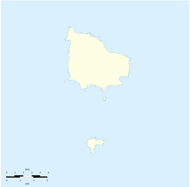
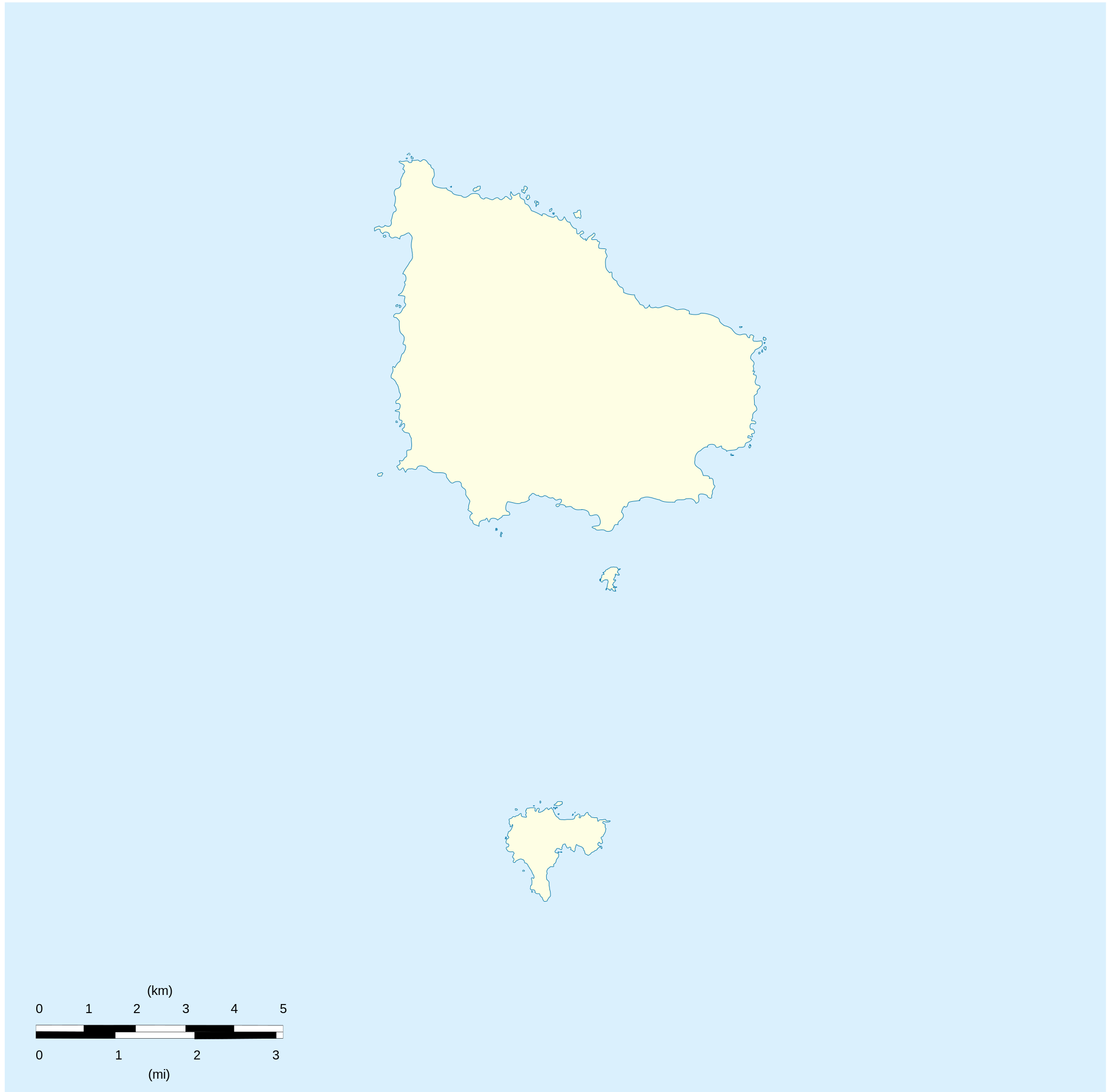
English: Location map of Norfolk_Island
Equirectangular projection. Geographic limits of the map:
Français : Carte de localisation des Île Norfolk
projection equirectangulaire. Les limites géographiques sont
|
| 日期 | |
| 來源 |
自己的作品 Détail de la carte Norfolk Island [1] Détail de la carte Nepean Island [2] Détail de la carte Philip Island [3] |
| 作者 | Xfigpower |
授權條款
我,本作品的著作權持有者,決定用以下授權條款發佈本作品:

|
已授權您依據自由軟體基金會發行的無固定段落、封面文字和封底文字GNU自由文件授權條款1.2版或任意後續版本,對本檔進行複製、傳播和/或修改。該協議的副本列在GNU自由文件授權條款中。 |
此檔案採用創用CC 姓名標示 3.0 未在地化版本授權條款。
- 您可以自由:
- 分享 – 複製、發佈和傳播本作品
- 重新修改 – 創作演繹作品
- 惟需遵照下列條件:
- 姓名標示 – 您必須指名出正確的製作者,和提供授權條款的連結,以及表示是否有對內容上做出變更。您可以用任何合理的方式來行動,但不得以任何方式表明授權條款是對您許可或是由您所使用。
您可以選擇您需要的授權條款。
檔案歷史
點選日期/時間以檢視該時間的檔案版本。
| 日期/時間 | 縮圖 | 尺寸 | 使用者 | 備註 | |
|---|---|---|---|---|---|
| 目前 | 2010年8月10日 (二) 20:41 | | 1,201 × 1,182(88 KB) | Xfigpower | {{Information |Description={{en|1=Location map of Norfolk_Island|}} Equirectangular projection. Geographic limits of the map: * N: 28°58' S * S: 29°10' S * W: 167°52' E * E: 168°02 E}} {{fr|1=Location map of [[:en:Norf |
檔案用途
下列25個頁面有用到此檔案:
全域檔案使用狀況
以下其他 wiki 使用了這個檔案:
- af.wikipedia.org 的使用狀況
- ar.wikipedia.org 的使用狀況
- ast.wikipedia.org 的使用狀況
- ba.wikipedia.org 的使用狀況
- be-tarask.wikipedia.org 的使用狀況
- be.wikipedia.org 的使用狀況
- bg.wikipedia.org 的使用狀況
- ceb.wikipedia.org 的使用狀況
- Plantilya:Location map Australia Norfolk Island
- Rocky Point
- White Rock
- Bird Rock
- South Rock
- Ross Point
- Flat Rock
- Stockyard Creek
- Mount Pitt
- Cascade Bay
- Mount Bates
- Anson Bay
- Kingston
- Hunter Point
- Cascade Creek
- Ball Bay
- Nepean Island
- Collins Head
- Creswell Bay
- Emily Bay
- Jacobs Rock
- Sydney Bay
- Town Creek
- Watermill Creek
- Point Vincent
- Rocky Point Creek
- Norfolk Island (pagklaro)
- Point Howe
- Broken Bridge Creek
- Bradley Rocks
- Anson Point
- Norfolk Ridge
- Point Vincent (punta)
- Sydney Bay (luuk sa Norfolk Island, lat -29,07, long 167,95)
- Steels Point
- Point Ross
- Rocky Point (punta sa Pulo sa Norfolk)
檢視此檔案的更多全域使用狀況。