
File:Map of Uganda Protectorate from Harrison and Sons.jpg
預覽大小:607 × 600 像素。 其他解析度:243 × 240 像素 | 486 × 480 像素 | 827 × 817 像素。
原始檔案 (827 × 817 像素,檔案大小:121 KB,MIME 類型:image/jpeg)
摘要
| 描述 |
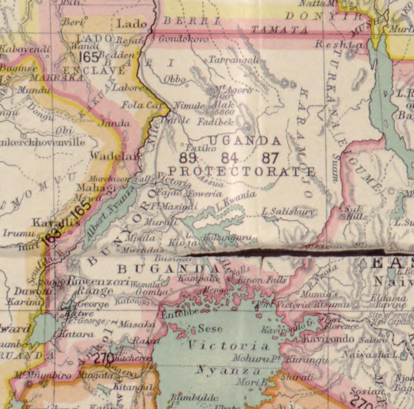
English: A clip of a map of Africa made to show detail to the Uganda Protectorate as it would appear in 1906, this map was made by Hertslet, Edward, Sir, 1824-1902, Brant, R. W. (Richard William), 1852-1934, and Sherwood, H. L. (Harry Leslie), 1863-1946 and published by Harrison and Sons in 1907. |
| 日期 | |
| 來源 | https://www.loc.gov/resource/g8200m.gct00004/?st=single&r=0.533,0.484,0.157,0.096,0 |
| 作者 |
Hertslet, Edward, Sir, 1824-1902. Brant, R. W. (Richard William), 1852-1934. Sherwood, H. L. (Harry Leslie), 1863-1946. |
授權條款
|
公有領域作品必須在美國以及來源國沒有版權問題,才能上傳至維基共享資源。如果此作品不是美國作品,這個文件必須要有一個額外的版權標記顯示此文件在來源國的版權狀態。
注意:此標籤不應用於錄音作品。 |
檔案歷史
點選日期/時間以檢視該時間的檔案版本。
| 日期/時間 | 縮圖 | 尺寸 | 使用者 | 備註 | |
|---|---|---|---|---|---|
| 目前 | 2023年1月21日 (六) 16:37 | | 827 × 817(121 KB) | Fidodog14 | Uploaded a work by Hertslet, Edward, Sir, 1824-1902. Brant, R. W. (Richard William), 1852-1934. Sherwood, H. L. (Harry Leslie), 1863-1946. from https://www.loc.gov/resource/g8200m.gct00004/?st=single&r=0.533,0.484,0.157,0.096,0 with UploadWizard |
檔案用途
下列頁面有用到此檔案:
全域檔案使用狀況
以下其他 wiki 使用了這個檔案:
- en.wikipedia.org 的使用狀況
- fi.wikipedia.org 的使用狀況