
File:Indonesia the Netherlands Locator.svg

此 SVG 檔案的 PNG 預覽的大小:800 × 353 像素。 其他解析度:320 × 141 像素 | 640 × 283 像素 | 1,024 × 452 像素 | 1,280 × 565 像素 | 2,560 × 1,130 像素 | 940 × 415 像素。
原始檔案 (SVG 檔案,表面大小:940 × 415 像素,檔案大小:1.7 MB)
| 描述 |
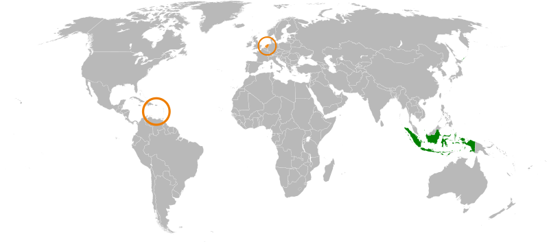
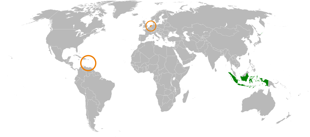
English: Japan, the Netherlands locator map. |
| 日期 | (UTC) |
| 來源 | |
| 作者 |
|
| 這是一張修飾過的圖片,即本圖片是用軟體修改過後的版本,修改的方式或內容有:Decoloured Japan, coloured Indonesia。原版圖片來源:Japan the Netherlands Locator.svg。
|
我,本作品的著作權持有者,決定用以下授權條款發佈本作品:
| 我,此作品的版權所有人,釋出此作品至公共領域。此授權條款在全世界均適用。 這可能在某些國家不合法,如果是的話: 我授予任何人有權利使用此作品於任何用途,除受法律約束外,不受任何限制。 |
原始上傳日誌
This image is a derivative work of the following images:
- File:Japan_the_Netherlands_Locator.svg licensed with PD-self
- 2009-08-29T09:41:19Z SelfQ 940x415 (1773972 Bytes) {{Information |Description={{en|1=Japan, the Netherlands locator map. }} |Source=Own work by uploader |Author=[[User:SelfQ|SelfQ]] |Date=29 Aug 2009 |Permission= |other_versions=[[File:Japan the Netherlands Locator.png|thumb|
Uploaded with derivativeFX
檔案歷史
點選日期/時間以檢視該時間的檔案版本。
| 日期/時間 | 縮圖 | 尺寸 | 用戶 | 備註 | |
|---|---|---|---|---|---|
| 目前 | 2011年7月19日 (二) 14:28 | | 940 × 415(1.7 MB) | SudlonrA | Reverted to version as of 19:13, 2 December 2010. Mali somehow became an island. |
| 2011年1月1日 (六) 18:38 |  | 940 × 415(1.18 MB) | Jkwchui | Removed Dutch Antillies from the map. | |
| 2010年12月2日 (四) 19:13 |  | 940 × 415(1.7 MB) | Ciaurlec | {{Information |Description={{en|1=Japan, the Netherlands locator map. }} |Source=*File:Japan_the_Netherlands_Locator.svg |Date=2010-12-02 19:11 (UTC) |Author=*File:Japan_the_Netherlands_Locator.svg: SelfQ *derivative work: ~~~ | |
檔案用途
下列2個頁面有用到此檔案:
全域檔案使用狀況
以下其他 wiki 使用了這個檔案:
- ar.wikipedia.org 的使用狀況
- en.wikipedia.org 的使用狀況
- es.wikipedia.org 的使用狀況
- fr.wikipedia.org 的使用狀況
- he.wikipedia.org 的使用狀況
- id.wikipedia.org 的使用狀況
- nl.wikipedia.org 的使用狀況
- ru.wikipedia.org 的使用狀況
- www.wikidata.org 的使用狀況