
File:India Singapore Locator.png
此為最大尺寸。
India_Singapore_Locator.png (601 × 451 像素,檔案大小:8 KB,MIME 類型:image/png)
摘要
| 描述 |
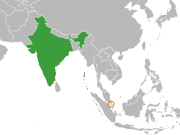
English: A locator map from :Image:BlankMap-World-large.png. |
| 日期 | 2008年六月19日 (原始上傳日期) |
| 來源 | Transferred from en.wikipedia to Commons by Luan using CommonsHelper. |
| 作者 | 英文維基百科的Circeus |
授權條款
| 此作品已由其作者,英文維基百科的Circeus,釋出至公有領域。此授權條款在全世界均適用。 這可能在某些國家不合法,如果是的話: Circeus授予任何人有權利使用此作品於任何用途,除受法律約束外,不受任何限制。 |
| Warning! According to Indian law, it is illegal to produce maps that in the view of the Indian government, misrepresent Indian territories by showing areas the Indian government claims ownership of but does not control as not belonging to India or as being contested. |
原始上傳日誌
The original description page was here. All following user names refer to en.wikipedia.
- 2008-06-19 02:33 Circeus 601×451× (11357 bytes) A locator map from [[:Image:BlankMap-World-large.png]]. {{PD-self}}
檔案歷史
點選日期/時間以檢視該時間的檔案版本。
| 日期/時間 | 縮圖 | 尺寸 | 用戶 | 備註 | |
|---|---|---|---|---|---|
| 目前 | 2016年10月1日 (六) 19:57 | | 601 × 451(8 KB) | Tiger7253 | Corrected map - Andaman and Nicobar Islands shaded in |
| 2012年3月4日 (日) 16:57 |  | 601 × 451(11 KB) | File Upload Bot (Magnus Manske) | {{BotMoveToCommons|en.wikipedia|year={{subst:CURRENTYEAR}}|month={{subst:CURRENTMONTHNAME}}|day={{subst:CURRENTDAY}}}} {{Information |Description={{en|A locator map from en::Image:BlankMap-World-large.png.}} |Source=Transferred from [http://en.w... |
檔案用途
下列頁面有用到此檔案:
全域檔案使用狀況
以下其他 wiki 使用了這個檔案:
- en.wikipedia.org 的使用狀況
- fa.wikipedia.org 的使用狀況
- he.wikipedia.org 的使用狀況
- hi.wikipedia.org 的使用狀況
- min.wikipedia.org 的使用狀況