
File:Txu-oclc-6614368-nn51-10.jpg

預覽大小:785 × 600 像素。 其他解析度:314 × 240 像素 | 628 × 480 像素 | 1,005 × 768 像素 | 1,280 × 978 像素 | 2,560 × 1,956 像素 | 5,000 × 3,821 像素。
原始檔案 (5,000 × 3,821 像素,檔案大小:4.67 MB,MIME 類型:image/jpeg)
摘要
| 描述 |
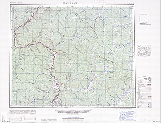
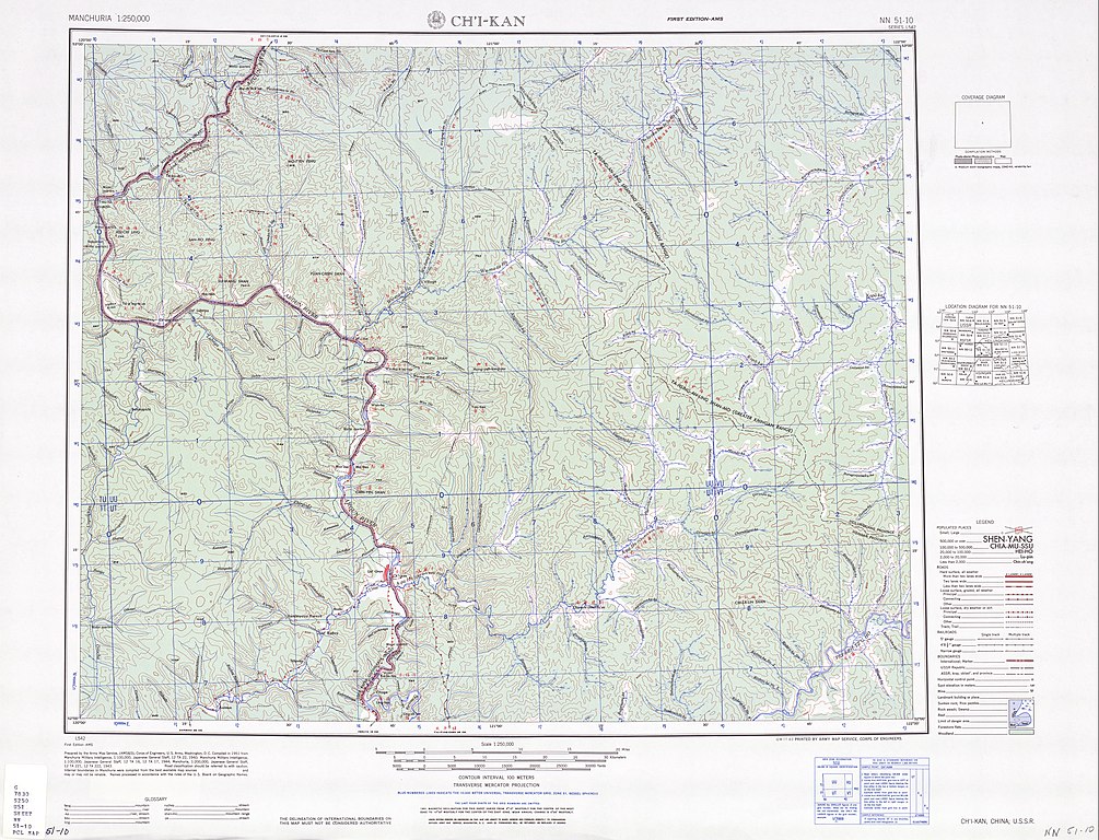
English: Map of Jiqian (Ch'i-kan) area, Inner Mongolia 中文(繁體):奇乾鄉與附近地區地圖 |
| 日期 | |
| 來源 | Courtesy of the University of Texas Libraries, The University of Texas at Austin. ([1]) |
| 作者 | Army Map Serivce, (AMS&S), Corps of Engineers, 1951 |
-
 Index Map

![[1]](http://legacy.lib.utexas.edu/maps/ams/manchuria/txu-oclc-6614368-nn51-10.jpg)
授權條款
This image or file is a work of a U.S. Army Corps of Engineers soldier or employee, taken or made as part of that person's official duties. As a work of the U.S. federal government, the image is in the public domain.
|
檔案歷史
點選日期/時間以檢視該時間的檔案版本。
| 日期/時間 | 縮圖 | 尺寸 | 使用者 | 備註 | |
|---|---|---|---|---|---|
| 目前 | 2019年9月12日 (四) 11:37 | | 5,000 × 3,821(4.67 MB) | Geographyinitiative | User created page with UploadWizard |
檔案用途
下列頁面有用到此檔案:
全域檔案使用狀況
以下其他 wiki 使用了這個檔案:
- en.wikipedia.org 的使用狀況