
File:Norway Buskerud location map.svg

此 SVG 檔案的 PNG 預覽的大小:568 × 600 像素。 其他解析度:227 × 240 像素 | 455 × 480 像素 | 727 × 768 像素 | 970 × 1,024 像素 | 1,940 × 2,048 像素 | 966 × 1,020 像素。
原始檔案 (SVG 檔案,表面大小:966 × 1,020 像素,檔案大小:130 KB)
摘要
| 描述 |
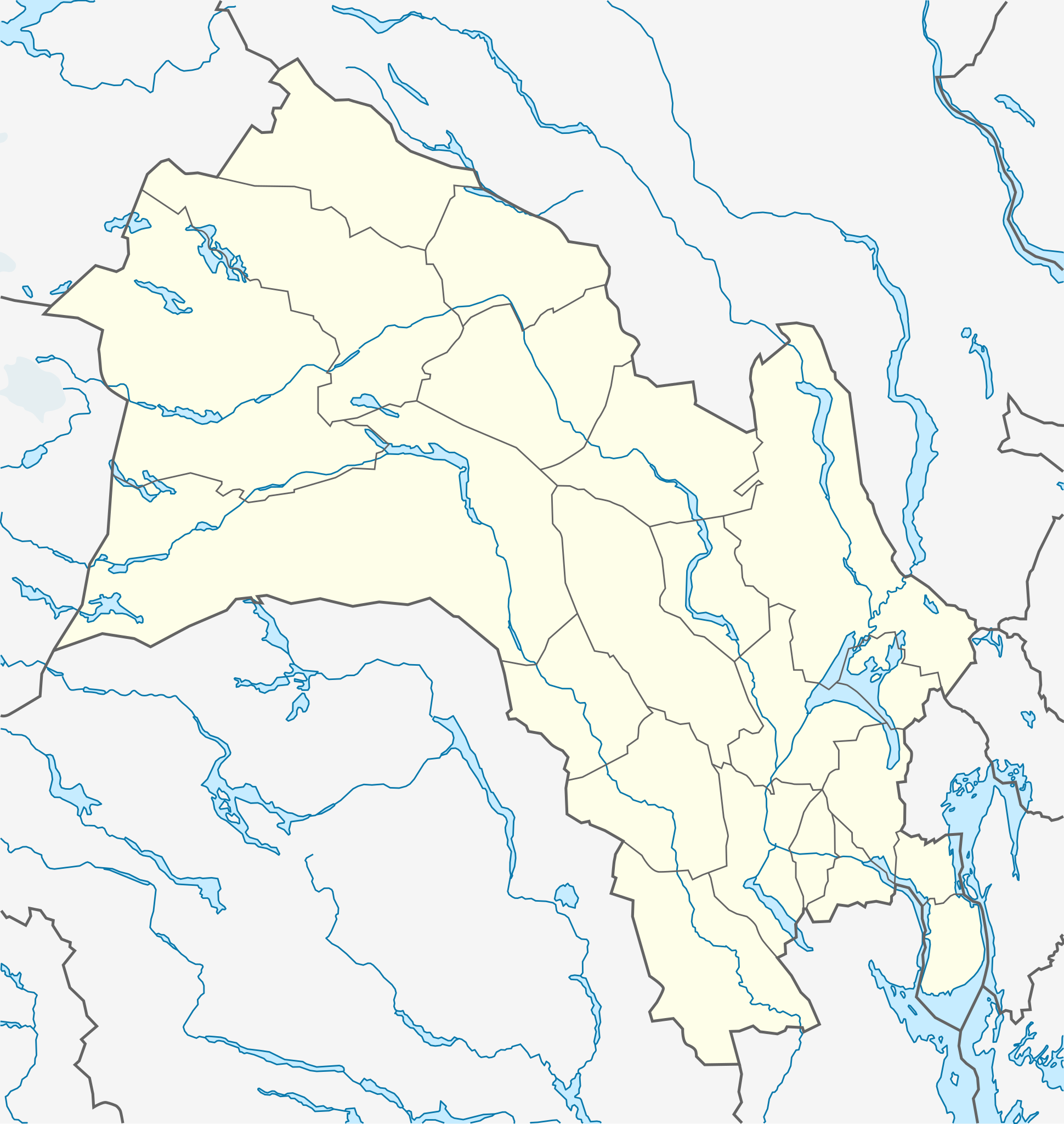
Quadratische Plattkarte, N-S-Streckung 200 %. Geographische Begrenzung der Karte:
Equirectangular projection, N/S stretching 200 %. Geographic limits of the map:
|
|
| 日期 | ||
| 來源 |
自己的作品, using
|
|
| 作者 | NordNordWest | |
| 授權許可 (重用此檔案) |
此檔案採用創用CC 姓名標示-相同方式分享 3.0 德國授權條款。
 此檔案採用創用CC 姓名標示-相同方式分享 3.0 未在地化版本授權條款。
|


|
|
檔案歷史
點選日期/時間以檢視該時間的檔案版本。
| 日期/時間 | 縮圖 | 尺寸 | 使用者 | 備註 | |
|---|---|---|---|---|---|
| 目前 | 2011年11月4日 (五) 09:12 | | 966 × 1,020(130 KB) | NordNordWest | corr |
| 2010年11月10日 (三) 21:14 |  | 966 × 1,020(130 KB) | NordNordWest | =={{int:filedesc}}== {{Information |Description= {{de|Positionskarte von Buskerud, Norwegen}} Quadratische Plattkarte, N-S-Streckung 200 %. Geographische Begrenzung der Karte: * N: 61.2° N * S: 59.3° N * W: 7.3° O * O: |
檔案用途
沒有使用此檔案的頁面。
全域檔案使用狀況
以下其他 wiki 使用了這個檔案:
- ar.wikipedia.org 的使用狀況
- ba.wikipedia.org 的使用狀況
- ca.wikipedia.org 的使用狀況
- ceb.wikipedia.org 的使用狀況
- ckb.wikipedia.org 的使用狀況
- cs.wikipedia.org 的使用狀況
- da.wikipedia.org 的使用狀況
- fa.wikipedia.org 的使用狀況
- ja.wikipedia.org 的使用狀況
- kbd.wikipedia.org 的使用狀況
- kn.wikipedia.org 的使用狀況
- lv.wikipedia.org 的使用狀況
- mk.wikipedia.org 的使用狀況
- pl.wikibooks.org 的使用狀況
- tr.wikipedia.org 的使用狀況
- uk.wikipedia.org 的使用狀況
- uz.wikipedia.org 的使用狀況
- war.wikipedia.org 的使用狀況