
File:Montréal-blank.png
預覽大小:723 × 599 像素。 其他解析度:290 × 240 像素 | 579 × 480 像素 | 841 × 697 像素。
原始檔案 (841 × 697 像素,檔案大小:186 KB,MIME 類型:image/png)
摘要
| 描述 |
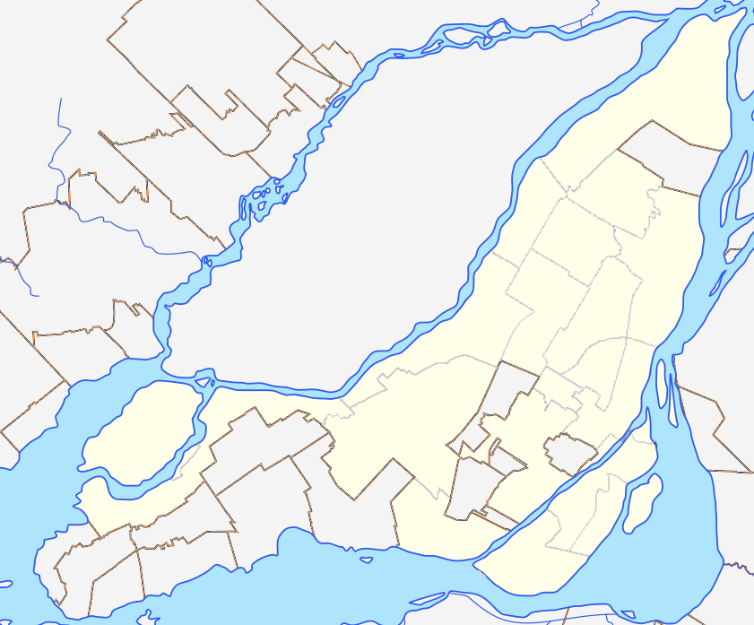
English: Blank map of Montreal and Laval Islands to be used for en:Template:Location map Canada Montreal. Colours are matched to File:Canada Quebec location map 2.svg for consistency. |
| 日期 | (UTC) |
| 來源 |
本檔案衍生自: Région métropolitaine de Montréal-blank.svg: |
| 作者 |
|
授權條款
我,本作品的著作權持有者,決定用以下授權條款發佈本作品:
此檔案採用創用CC 姓名標示-相同方式分享 3.0 未在地化版本授權條款。
- 您可以自由:
- 分享 – 複製、發佈和傳播本作品
- 重新修改 – 創作演繹作品
- 惟需遵照下列條件:
- 姓名標示 – 您必須指名出正確的製作者,和提供授權條款的連結,以及表示是否有對內容上做出變更。您可以用任何合理的方式來行動,但不得以任何方式表明授權條款是對您許可或是由您所使用。
- 相同方式分享 – 如果您利用本素材進行再混合、轉換或創作,您必須基於如同原先的相同或兼容的條款,來分布您的貢獻成品。
原始上傳日誌
This image is a derivative work of the following images:
- File:Région_métropolitaine_de_Montréal-blank.svg licensed with Cc-by-sa-3.0
- 2012-07-28T22:03:53Z Flappiefh 1667x1511 (335659 Bytes) La carte précédente était inclinée de 3,8° par rapport au nord. Corrigé.
- 2012-07-27T16:44:18Z Flappiefh 1694x1416 (354061 Bytes) Rotation de 3.8° (le Nord est désormais aligné avec les bords de la carte). Correction des cours d'eau.
- 2012-07-21T08:13:01Z Flappiefh 1714x1526 (338754 Bytes) Ajustement des cours d'eau et des bords du Saint-Laurent.
- 2012-07-21T07:49:12Z Flappiefh 1714x1526 (338185 Bytes)
Uploaded with derivativeFX
檔案歷史
點選日期/時間以檢視該時間的檔案版本。
| 日期/時間 | 縮圖 | 尺寸 | 使用者 | 備註 | |
|---|---|---|---|---|---|
| 目前 | 2012年12月16日 (日) 04:34 | | 841 × 697(186 KB) | P199 | thinner borough lines |
| 2012年12月14日 (五) 23:58 |  | 841 × 697(197 KB) | P199 | == {{int:filedesc}} == {{Information |Description={{en|1=Blank map of Montreal and Laval Islands to be used for en:Template:Location map Canada Montreal. Colours are matched to for consistency.}} |Source={{Derived from|Région_métropolitaine_de_M... |
檔案用途
下列13個頁面有用到此檔案:
全域檔案使用狀況
以下其他 wiki 使用了這個檔案:
- ar.wikipedia.org 的使用狀況
- azb.wikipedia.org 的使用狀況
- en.wikipedia.org 的使用狀況
- Talk:Island of Montreal
- Mount Royal
- Notre-Dame-de-Grâce
- Bell Centre
- Mary, Queen of the World Cathedral
- Canadian Centre for Architecture
- Olympic Stadium (Montreal)
- Christ Church Cathedral (Montreal)
- Hochelaga-Maisonneuve
- Ahuntsic
- Pierrefonds, Quebec
- L'Île-Bizard, Quebec
- Percival Molson Memorial Stadium
- Hôtel-Dieu de Montréal
- Montreal Casino
- Pointe-Saint-Charles
- Griffintown
- Place Jacques-Cartier
- Notre Dame Island
- Royal Victoria Hospital, Montreal
- McCord Stewart Museum
- Golden Square Mile
- Schwartz's
- List of airports in the Montreal area
- Quartier Latin, Montreal
- Rivière-des-Prairies–Pointe-aux-Trembles–Montréal-Est
- Saint-Henri, Montreal
- Villeray, Montreal
- Quartier international de Montréal
- Dow Planetarium
- KPMG Tower
- Chinatown, Montreal
- Allan Memorial Institute
- Montreal Holocaust Museum
- Old Montreal
- Shriners Hospital for Children – Canada
- Little Italy, Montreal
- Gay Village, Montreal
- Roxboro, Quebec
- World Trade Centre Montreal
- Louis-Hippolyte Lafontaine Bridge–Tunnel
- Montreal Central Station
- Victoria Square, Montreal
- Ville-Émard
- Sainte-Geneviève, Quebec
- St. James United Church (Montreal)
- Montreal City Hall
檢視此檔案的更多全域使用狀況。