
File:Yukon River near Carmacks, Yukon -a.jpg
本预览的尺寸:800 × 600像素。 其他分辨率:320 × 240像素 | 640 × 480像素 | 1,024 × 768像素 | 1,280 × 960像素 | 2,560 × 1,920像素 | 3,264 × 2,448像素。
原始文件 (3,264 × 2,448像素,文件大小:1.91 MB,MIME类型:image/jpeg)
| 描述 |
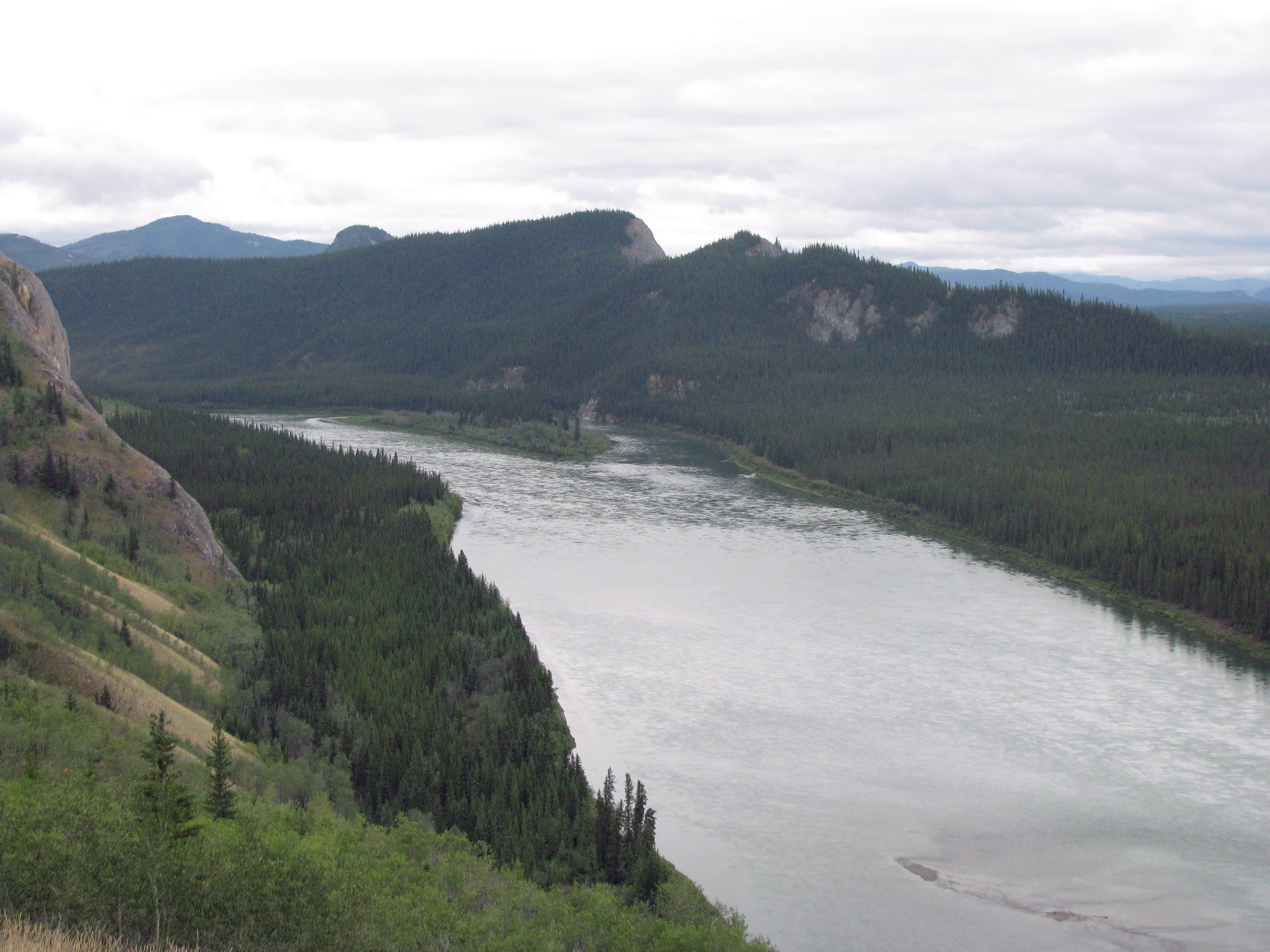
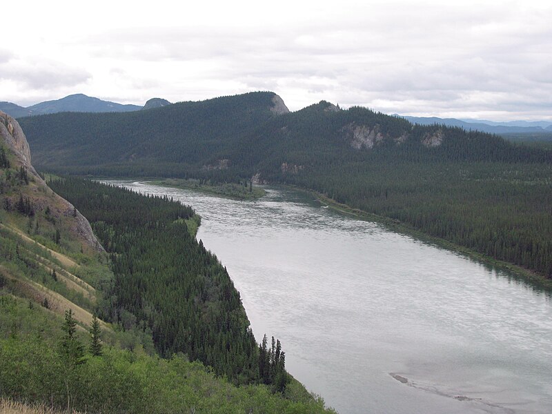
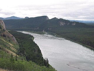
The following is the author's description of the photograph quoted directly from the photograph's Flickr page. "Yukon River near Carmacks, Campbell Highway, Yukon, Canada. Photographed 10 August 2009. Photographs taken at site of Columbia Disaster. Joint ©© Arthur D. Chapman and Audrey Bendus. " |
||
| 日期 | |||
| 来源 |
originally posted to Flickr as Yukon River near Carmacks, Yukon
|
||
| 作者 | Arthur Chapman | ||
| 授权 (二次使用本文件) |
|
| 相机位置 | | 在以下服务上查看本图像和附近其他图像: OpenStreetMap |
|---|
文件历史
点击某个日期/时间查看对应时刻的文件。
| 日期/时间 | 缩略图 | 大小 | 用户 | 备注 | |
|---|---|---|---|---|---|
| 当前 | 2022年6月19日 (日) 18:23 | | 3,264 × 2,448(1.91 MB) | Hohum | Colour adjust |
| 2009年11月9日 (一) 02:50 |  | 3,264 × 2,448(1.89 MB) | Geo Swan | {{Information |Description=The following is the author's description of the photograph quoted directly from the photograph's Flickr page.<br/>"Yukon River near Carmacks, Campbell Highway, Yukon, Canada. Photographed 10 August 2009.<br><br>Photographs take |
文件用途
以下页面使用本文件:
全域文件用途
以下其他wiki使用此文件:
- en.wikipedia.org上的用途
- es.wikipedia.org上的用途
- fr.wikipedia.org上的用途
- ko.wikipedia.org上的用途
- ml.wikipedia.org上的用途
- ru.wikipedia.org上的用途
- vls.wikipedia.org上的用途