
File:Valley Lee Township Carroll County Ohio.jpg

本预览的尺寸:800 × 596像素。 其他分辨率:320 × 239像素 | 640 × 477像素 | 1,024 × 763像素 | 1,280 × 954像素 | 2,576 × 1,920像素。
原始文件 (2,576 × 1,920像素,文件大小:1.17 MB,MIME类型:image/jpeg)
| 描述 |
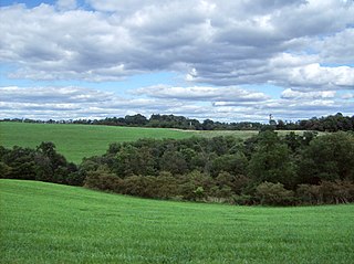
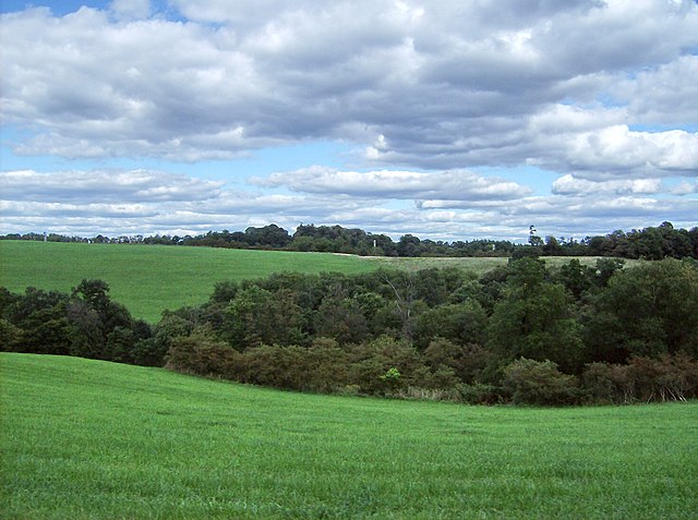
English: View northeastward from State Route 43 into a valley in central Lee Township, Carroll County, Ohio, United States. |
||
| 日期 | 摄于2007年9月15日 | ||
| 来源 | 自己的作品 | ||
| 作者 | Nyttend | ||
| 授权 (二次使用本文件) |
|
| 相机位置 | | 在以下服务上查看本图像和附近其他图像: OpenStreetMap |
|---|
文件历史
点击某个日期/时间查看对应时刻的文件。
| 日期/时间 | 缩略图 | 大小 | 用户 | 备注 | |
|---|---|---|---|---|---|
| 当前 | 2007年10月5日 (五) 07:47 | | 2,576 × 1,920(1.17 MB) | Marku1988 | |
| 2007年10月5日 (五) 05:20 |  | 2,576 × 1,920(1.82 MB) | Nyttend | {{Information |Description=View northeastward from {{w|Ohio State Route 43|State Route 43}} into a valley in central {{w|Lee Township, Carroll County, Ohio|Lee Township}}, {{w|Carroll County, Ohio|Carroll County}}, {{w|Ohio}}, {{w|United States}}. |Source |
文件用途
以下页面使用本文件:
全域文件用途
以下其他wiki使用此文件:
- es.wikipedia.org上的用途
- eu.wikipedia.org上的用途
- pt.wikipedia.org上的用途
- ro.wikipedia.org上的用途
- vi.wikipedia.org上的用途
- www.wikidata.org上的用途