
File:Topographic map of Battle of Winterthur 1799.svg

此SVG文件的PNG预览的大小:800 × 508像素。 其他分辨率:320 × 203像素 | 640 × 406像素 | 1,024 × 650像素 | 1,280 × 812像素 | 2,560 × 1,625像素 | 1,303 × 827像素。
原始文件 (SVG文件,尺寸为1,303 × 827像素,文件大小:2.35 MB)
摘要
| 描述 |
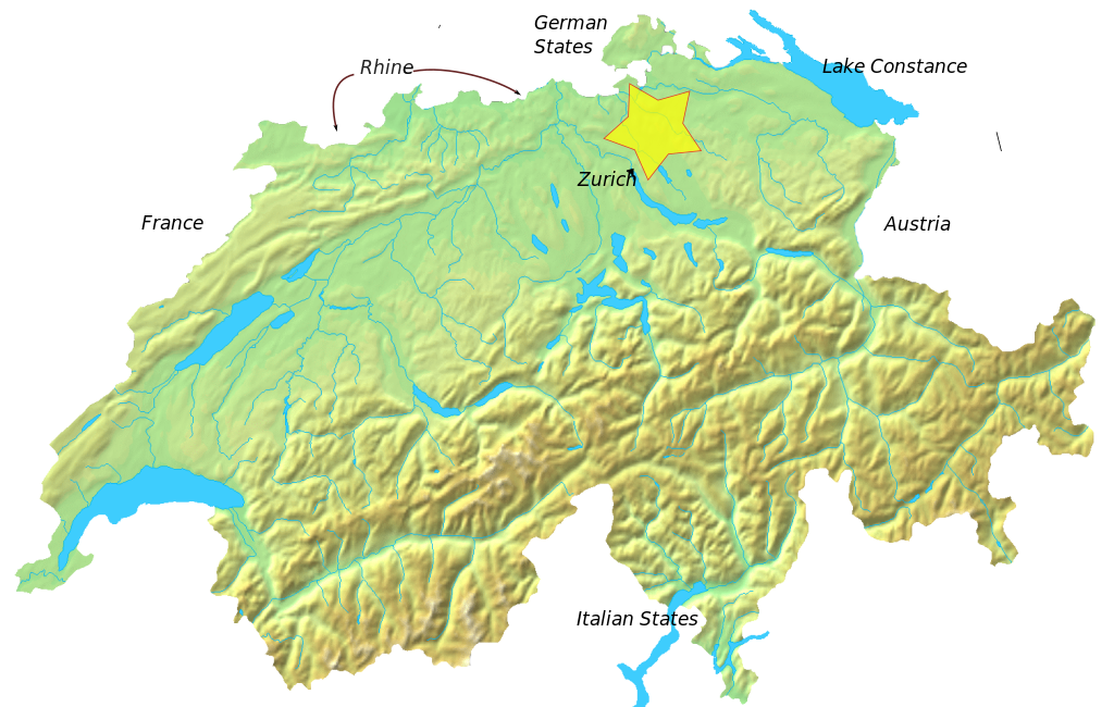
English: Blank topographic map of Switzerland.
Deutsch: Relief-Karte der Schweiz (blanko) |
| 日期 | (UTC) |
| 来源 | 基于如下对象的个人作品: Switzerland topographic.png |
| 作者 |
|
| 这是一张修改过的图片,这意味着它已在原版本的基础上通过软件进行了编辑,改动内容:added location of battle outside Winterthur, May 1799。其原始版本为:Switzerland topographic.png。修改者:Auntieruth55。
|
我,本作品著作权人,特此采用以下许可协议发表本作品:
| 我,本作品著作权人,释出本作品至公有领域。这适用于全世界。 在一些国家这可能不合法;如果是这样的话,那么: 我无条件地授予任何人以任何目的使用本作品的权利,除非这些条件是法律规定所必需的。 |
原始上传日志
This image is a derivative work of the following images:
- File:Switzerland_topographic.png licensed with PD-self
- 2007-04-16T19:05:28Z Numerus Klausus 1508x958 (1819472 Bytes) {{Information |Description=Blanc topographic Map of Switzerland / Relief-Karte der Schweiz (blanko) |Source= Map created from [http://www2.demis.nl/mapserver/mapper.asp DEMIS Mapserver], which are public domain. |Date= 2007 |
Uploaded with derivativeFX
文件历史
点击某个日期/时间查看对应时刻的文件。
| 日期/时间 | 缩略图 | 大小 | 用户 | 备注 | |
|---|---|---|---|---|---|
| 当前 | 2010年2月9日 (二) 03:05 | | 1,303 × 827(2.35 MB) | Auntieruth55 | made smaller |
| 2010年2月9日 (二) 03:02 |  | 1,508 × 958(2.35 MB) | Auntieruth55 | Made image smaller | |
| 2010年2月9日 (二) 03:00 |  | 1,508 × 958(2.35 MB) | Auntieruth55 | {{Information |Description=Blank topographic Map of Switzerland / Relief-Karte der Schweiz (blanko) |Source=*File:Switzerland_topographic.png |Date=2010-02-09 02:59 (UTC) |Author=*File:Switzerland_topographic.png: User:Numerus Klausus / [[ |
文件用途
以下页面使用本文件:
全域文件用途
以下其他wiki使用此文件:
- ca.wikipedia.org上的用途
- en.wikipedia.org上的用途
- es.wikipedia.org上的用途
- fa.wikipedia.org上的用途
- fr.wikipedia.org上的用途
- ha.wikipedia.org上的用途
- id.wikipedia.org上的用途
- pt.wikipedia.org上的用途
- ru.wikipedia.org上的用途
- uk.wikipedia.org上的用途
- uz.wikipedia.org上的用途
- vi.wikipedia.org上的用途
- www.wikidata.org上的用途