
File:Mbeya.jpg

本预览的尺寸:800 × 540像素。 其他分辨率:320 × 216像素 | 640 × 432像素 | 1,024 × 691像素 | 1,280 × 864像素 | 1,800 × 1,215像素。
原始文件 (1,800 × 1,215像素,文件大小:1.26 MB,MIME类型:image/jpeg)
摘要
| 描述 |
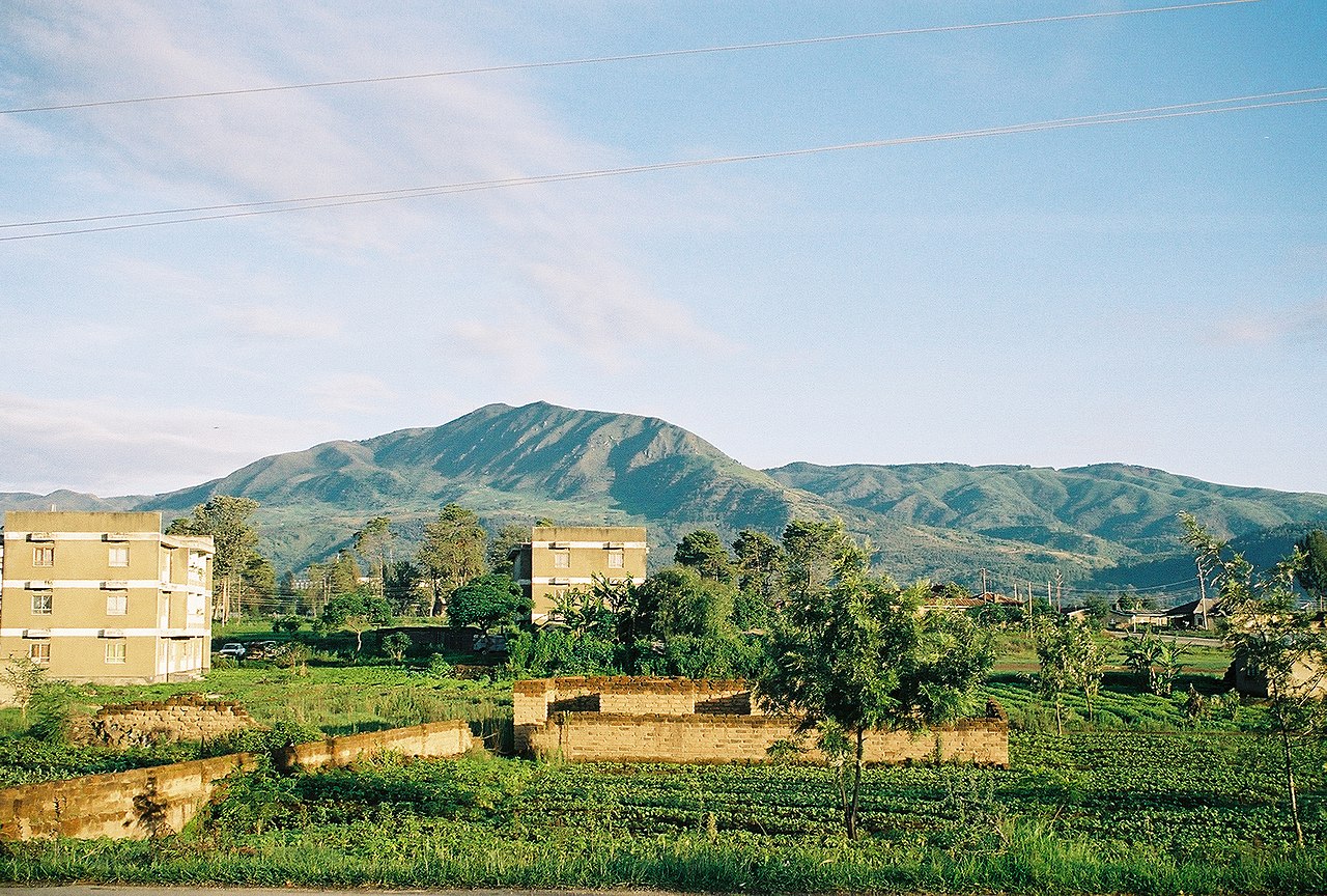
English: Taken by Andrew Coe, of the hills surrounding Mbeya town |
| 日期 | 2006年1月27日 (原始上传日期) |
| 来源 | Transferred from en.wikipedia; transfer was stated to be made by User:Sémhur. |
| 作者 | Andrew Coe at en.wikipedia |
| 授权 (二次使用本文件) |
Released into the public domain (by the author). |
| 物体位置 | | 在以下服务上查看本图像和附近其他图像: OpenStreetMap |
|---|
许可协议
| |
本作品已被作者中文维基百科项目的Andrewcoe22释出到公有领域。这适用于全世界。 如果这样做不合法的话: |
原始上传日志
原始描述頁面位於這裡。下列使用者名稱均來自en.wikipedia。
- 2006-01-27 18:28 Andrewcoe22 1800×1215× (1324437 bytes) Taken by Andrew Coe, of the hills surrounding Mbeya town
文件历史
点击某个日期/时间查看对应时刻的文件。
| 日期/时间 | 缩略图 | 大小 | 用户 | 备注 | |
|---|---|---|---|---|---|
| 当前 | 2009年5月3日 (日) 09:39 | | 1,800 × 1,215(1.26 MB) | Sémhur | zut |
| 2009年5月3日 (日) 09:37 |  | 1,800 × 1,215(97 KB) | Sémhur | =={{int:summary}}== {{Information |Description={{en|Taken by Andrew Coe, of the hills surrounding Mbeya town}} |Source=Transferred from [http://en.wikipedia.org en.wikipedia]; transfer was stated to be made by User:Sémhur. |Date={{Date|2006|01|27}} ( |
文件用途
以下页面使用本文件:
全域文件用途
以下其他wiki使用此文件:
- ar.wikipedia.org上的用途
- avk.wikipedia.org上的用途
- azb.wikipedia.org上的用途
- be.wikipedia.org上的用途
- bg.wikipedia.org上的用途
- ceb.wikipedia.org上的用途
- cs.wikipedia.org上的用途
- de.wikivoyage.org上的用途
- en.wikipedia.org上的用途
- en.wikivoyage.org上的用途
- eo.wikipedia.org上的用途
- es.wikipedia.org上的用途
- et.wikipedia.org上的用途
- fa.wikipedia.org上的用途
- fi.wikipedia.org上的用途
- fr.wikipedia.org上的用途
- fr.wikivoyage.org上的用途
- ha.wikipedia.org上的用途
- he.wikipedia.org上的用途
- he.wikivoyage.org上的用途
- hr.wikipedia.org上的用途
- hu.wikipedia.org上的用途
- hy.wikipedia.org上的用途
- ig.wikipedia.org上的用途
- it.wikipedia.org上的用途
- ja.wikipedia.org上的用途
- ja.wikivoyage.org上的用途
- kk.wikipedia.org上的用途
- ko.wikipedia.org上的用途
- lt.wikipedia.org上的用途
- mi.wikipedia.org上的用途
- mt.wikipedia.org上的用途
- nn.wikipedia.org上的用途
- no.wikipedia.org上的用途
- pl.wikipedia.org上的用途
- ro.wikipedia.org上的用途
- ru.wikipedia.org上的用途
- sr.wikipedia.org上的用途
- sv.wikipedia.org上的用途
- sw.wikipedia.org上的用途
- th.wikipedia.org上的用途
查看此文件的更多全域用途。