
File:Chautauqua County Courthouse, Mayville.jpg
本预览的尺寸:800 × 532像素。 其他分辨率:320 × 213像素 | 640 × 426像素 | 1,024 × 681像素 | 1,280 × 851像素 | 2,560 × 1,702像素 | 6,016 × 4,000像素。
原始文件 (6,016 × 4,000像素,文件大小:6.4 MB,MIME类型:image/jpeg)
| 相机位置 | | 在以下服务上查看本图像和附近其他图像: OpenStreetMap |
|---|
| 描述 |
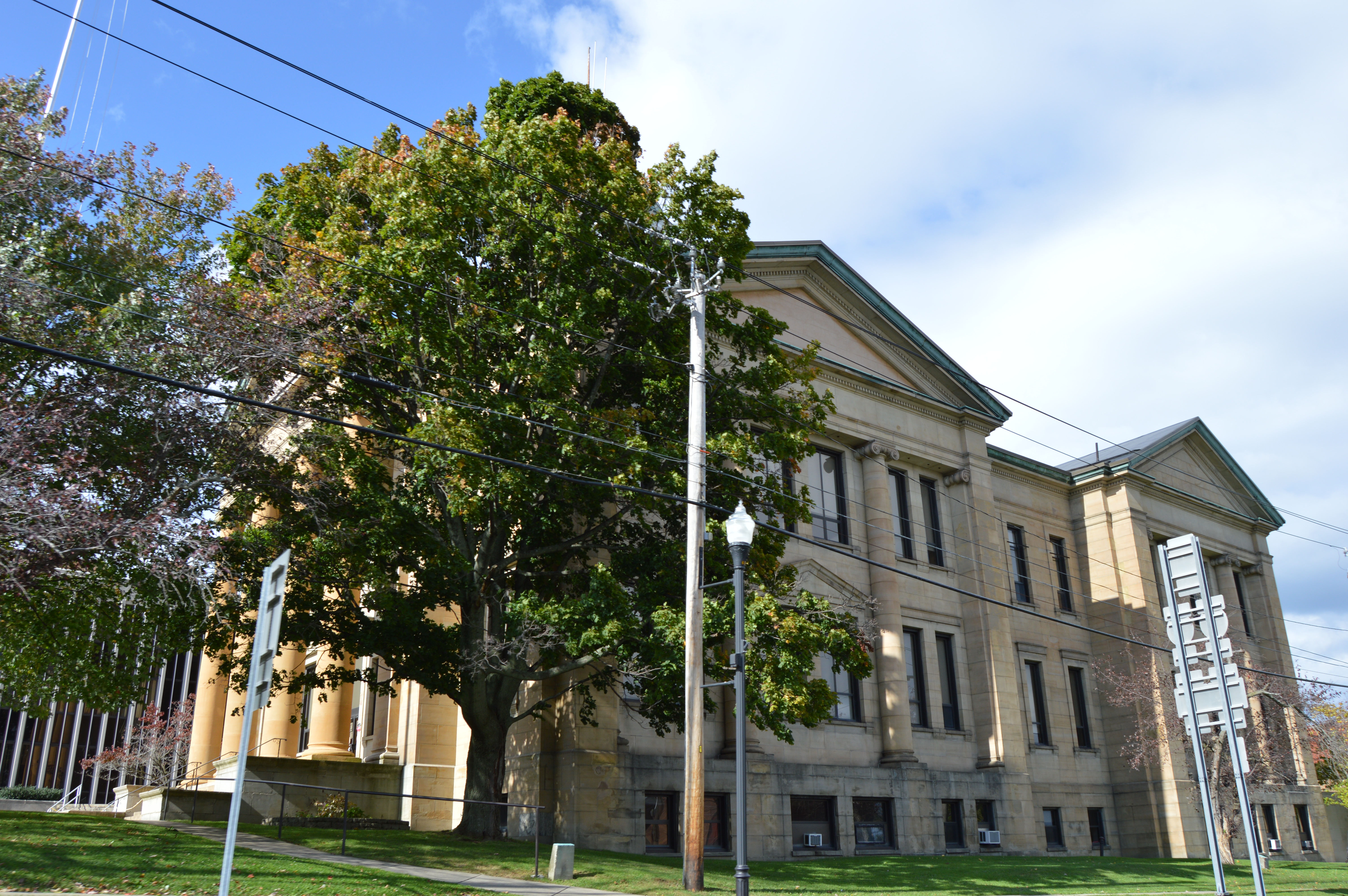
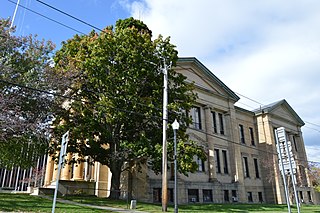
English: View from the south of the Chautauqua County Courthouse, located on the northern corner of the junction of Erie and Chautauqua Streets (State Routes 394 and 430, respectively) in Mayville, New York, United States. It was built in 1907. |
||
| 日期 | 摄于2014年10月4日 | ||
| 来源 | 自己的作品 | ||
| 作者 | Nyttend | ||
| 授权 (二次使用本文件) |
|
文件历史
点击某个日期/时间查看对应时刻的文件。
| 日期/时间 | 缩略图 | 大小 | 用户 | 备注 | |
|---|---|---|---|---|---|
| 当前 | 2014年10月24日 (五) 03:59 | | 6,016 × 4,000(6.4 MB) | Nyttend | {{Location|42|15|17|N|79|30|17|W}} {{Information |Description={{en|View from the south of the {{w|Chautauqua County Courthouse (New York)|Chautauqua County Courthouse}}, located on the northern corner of the junction of Erie and Chautauqua Streets (Sta... |
文件用途
以下页面使用本文件:
全域文件用途
以下其他wiki使用此文件:
- ar.wikipedia.org上的用途
- ceb.wikipedia.org上的用途
- ce.wikipedia.org上的用途
- cs.wikipedia.org上的用途
- cy.wikipedia.org上的用途
- de.wikipedia.org上的用途
- en.wikipedia.org上的用途
- eo.wikipedia.org上的用途
- es.wikipedia.org上的用途
- fr.wikipedia.org上的用途
- ga.wikipedia.org上的用途
- hu.wikipedia.org上的用途
- hy.wikipedia.org上的用途
- ko.wikipedia.org上的用途
- ku.wikipedia.org上的用途
- mr.wikipedia.org上的用途
- no.wikipedia.org上的用途
- pl.wikipedia.org上的用途
- pt.wikipedia.org上的用途
- ro.wikipedia.org上的用途
- ru.wikipedia.org上的用途
- sr.wikipedia.org上的用途
- sv.wikipedia.org上的用途
- tr.wikipedia.org上的用途
- tt.wikipedia.org上的用途
- www.wikidata.org上的用途
- zh-min-nan.wikipedia.org上的用途