
File:131.72942E 42.96528N Isle of Popov.png

本预览的尺寸:557 × 600像素。 其他分辨率:223 × 240像素 | 446 × 480像素 | 799 × 860像素。
原始文件 (799 × 860像素,文件大小:669 KB,MIME类型:image/png)
| 描述 |
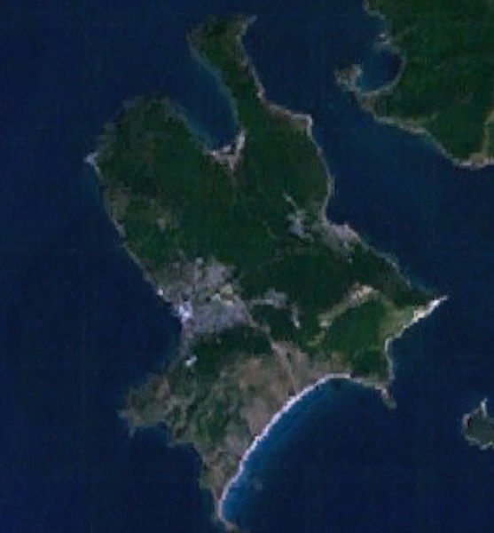
English: Isle of Popov, Primorsky Krai |
| 日期 | |
| 来源 | World Wind 1.4 |
| 作者 | World Wind |
| 本圖像屬於公有領域,因其為NASA的World Wind衛星地圖瀏覽器的一張截圖,且使用了公有領域圖層,如Blue Marble、MODIS、Landsat、SRTM、USGS、GLOBE等。
|
 |
文件历史
点击某个日期/时间查看对应时刻的文件。
| 日期/时间 | 缩略图 | 大小 | 用户 | 备注 | |
|---|---|---|---|---|---|
| 当前 | 2009年7月30日 (四) 00:18 | | 799 × 860(669 KB) | Pauk | {{Information |Description={{en|1=Isle of Popov, Primorsky Krai}} |Source=World Wind 1.4 |Author=World Wind |Date=July 30, 2009 |Permission= |other_versions= }} {{PD-WorldWind}} Category:Popova Island |
文件用途
以下页面使用本文件:
全域文件用途
以下其他wiki使用此文件:
- de.wikipedia.org上的用途
- en.wikipedia.org上的用途
- it.wikipedia.org上的用途
- pl.wikipedia.org上的用途